New Principle on Equity
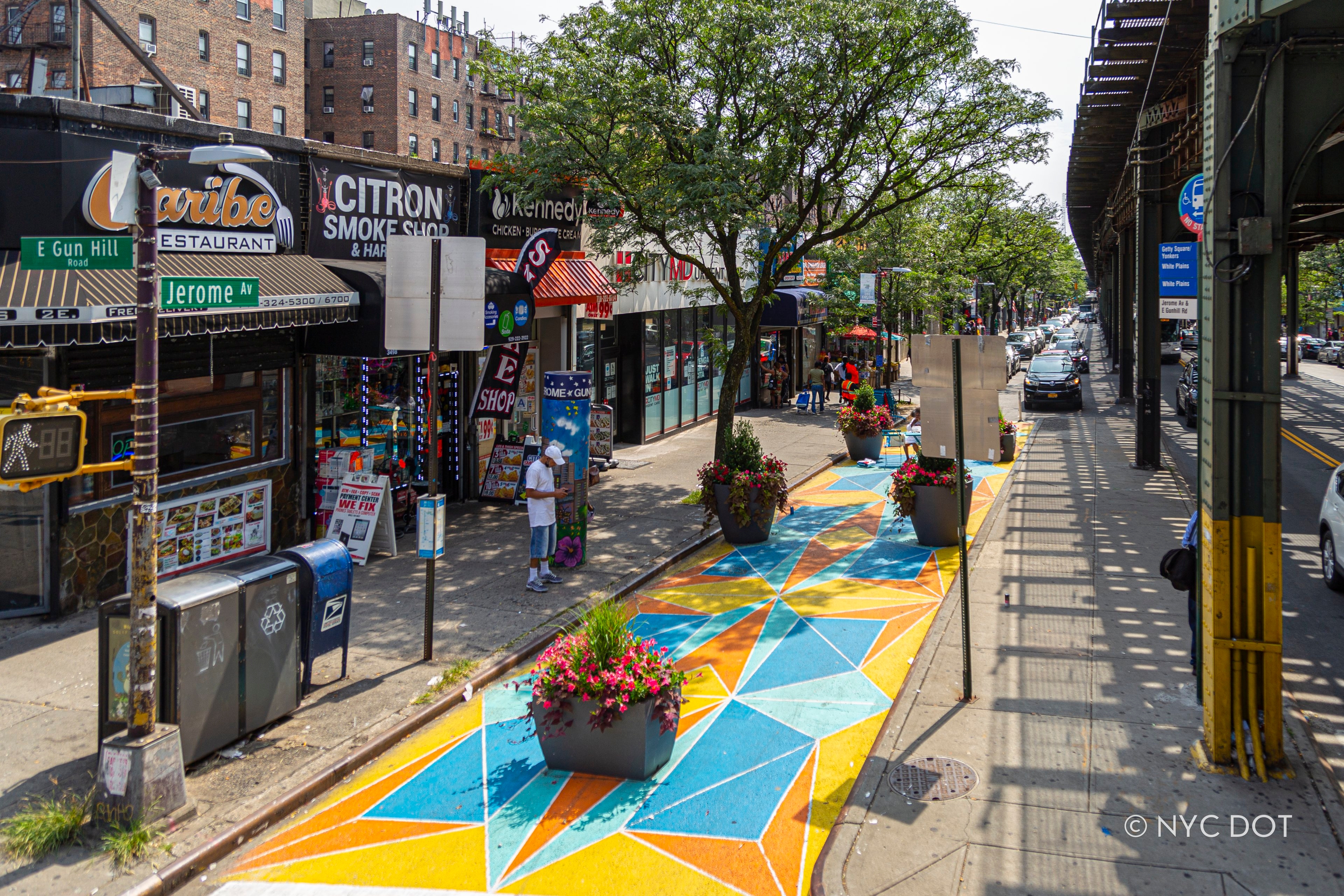
Jerome Avenue and East Gun Hill Road, Bronx
Equity
A new and essential principle in the City’s street design, equity ensures that safe, accessible, and inclusive streets are prioritized—especially in communities with historically limited infrastructure investment. This approach guides NYC DOT in creating public spaces that serve all New Yorkers.
Prioritize high-need areas by focusing improvements in neighborhoods with historically limited infrastructure investment, guided by Priority Investment Areas (PIAs) identified in the NYC Streets Plan.
Promote inclusive mobility by designing streets that accommodate all users, ensuring safe and convenient access for people of all ages, abilities, and backgrounds.
Engage communities authentically by involving residents and stakeholders early in the design process to ensure projects reflect local needs and build lasting trust.
Design for long-term impact by addressing historic inequities through streets that support health, connectivity, and climate resilience in underserved neighborhoods.
Equity in Action: The PIAs identified in the NYC Streets Plan demonstrate how this principle is applied in practice. By analyzing demographic factors, safety data, and historical investment patterns, NYC DOT directs resources to communities with the greatest need, ensuring that the benefits of safe, accessible, and welcoming streets are shared citywide.